Welcome to
The Cartographic Arts
Beautifully designed original wall maps for your home, workplace or holiday let
Stunning cartography of places you love
Packed full of detail with every place name. if you want to check on a specific location message and we will send proof
Up-to-date cartography blending contemporary and antique cartographic styles
Maps make wonderful gifts and all my maps can be personalised to add even greater meaning
Educational and informative for the kids & family
Inform and inspire your holiday home guests
Huge variety of sizes to fit wall spaces and budgets
Highest quality Giclée printing that will last a life time.
Available framed or unframed with a choice between fine art paper or canvas.
Standard print sizes allowing for easy frame selection
All prints are limited edition giving you a rare piece of decorative art
all designed, printed and made in the UK by me, Daniel Robinson


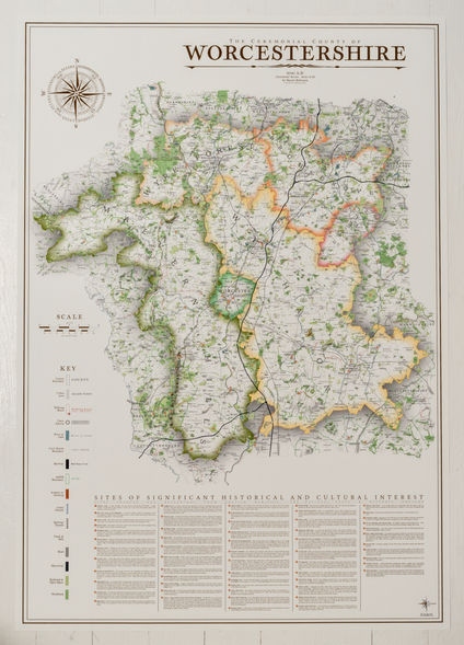
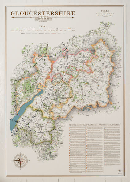
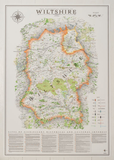
Examples of my work
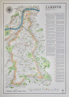
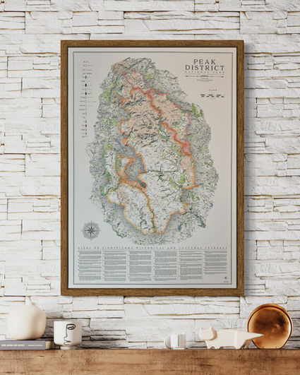
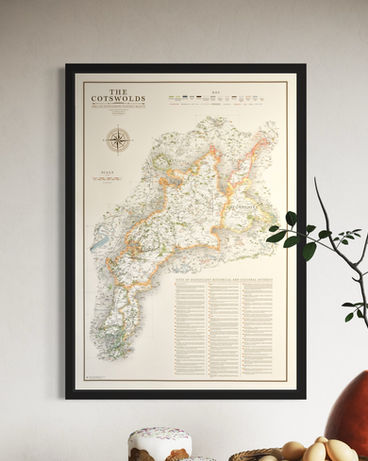
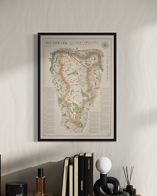
Here is a quick look at some of my maps - counties, national parks, national landscapes and London Boroughs. To see the complete portfolio hover over the 'maps' tab above and select from the drop down menu....

wall map sizes & types
County, National Park and National Landscape maps
The original artworks are designed as large detailed pieces in the following sizes.
B1 - 70 cm x 100 cm - £90
(original design size).
A1 - 59.4 cm x 84.1 cm - £75
B2 - 50 cm x 70 cm - £60
(not all maps are available in this size)
as the size is reduced the content becomes slightly more congested, in particular text labels, which have a minimum size. everything has been readjusted and the occasional text removed.
some maps are 90 x 90 cm and 80 x 80 cm due to their shape and size such as Cornwall and Devon.
Elegant smaller and simplified maps at smaller print sizes.
A2 - 42 cm x 59.4cm - £45.50
B3 - 35.3 cm x 50 cm - £36.50
A3 - 29.7 cm x 42 cm - £29.50
I have taken the original artwork and removed several elements of detail from the maps to allow the reduction in size. This varies from map to map but typically involves removal of the civil parish boundaries and labels, national trail walking routes and labels, and a lot of wood, hill top and park labels. The sites of significant historical and cultural interest are also removed.
Detailed street maps of London boroughs, produced in a different style, from the county and national park maps, reflecting the urban subject matter. There are two versions of the artwork to choose from for each borough.
A2 - 42 cm x 59.4cm - £45.50
(original design size)
District Maps
There are a growing number of district maps from different counties. These are maps created from the original piece of artwork. These are often available in three sizes but check availability on each product page.
A2 - 42 cm x 59.4cm - £45.50
B3 - 35.3 cm x 50 cm - £36.50
A3 - 29.7 cm x 42 cm - £29.50
I produced some beautiful and incredibly detailed large wall maps of Wales. These are only available in the large B1 size.
B1 - 70 cm x 100 cm - £90
From the original Wales maps I created a number of smaller regional, county and national park maps such as the Brecon Beacons, Snowdonia and Anglesey. These are often available in three smaller sizes.
A2 - 42 cm x 59.4 cm - £45.50
B3 - 35.3 cm x 50 cm - £36.50
A3 - 29.7 cm x 42 cm - £29.50
IF YOU WOULD LIKE A CUSTOM MADE LARGER PIECE TO FILL A WALL SPACE PLEASE GET IN TOUCH, I"M SURE I CAN DO IT
"maps you get lost in examining close up, while they also pack a punch from across the room"
"looks amazing anywhere in the house"
The mini map series takes my original larger maps and re-designs them to suit smaller print sizes.
Several details are lost such as civil parish borders and labels, most walking routes and labelling of woods, parks and hills. Place names are prioritised. Every effort is made to include every place name on a map.
While some detail is lost the beauty of the maps remains.
The mini map series employs some standard design features that help define the series including a gentle off-white background and the use of a burnt orange colour in many of the elements around the map such as the border, scale and title.


the london series
I have developed a different style of map focusing on the boroughs of london. to launch the London series of wall maps the boroughs of hammersmith & fulham, wandsworth and the city of westminster were designed.
Subsequently I have produced southwark, lambeth, greenwich, lewisham,
camden, islington and hackney
the aim is to complete all 32 london boroughs and develop a large scale map of greater london. please stay in contact if you want to know more about this.
the distinct design of the london series of wall maps does share some common ideas from the county series but has evolved to suit the size of the area in question and the density of detail associated with an urban area.
I have produced a different design to the existing borough maps, known as the 'blue' series. This is taken from the blue added to the elements around the map such as the title, border, scale and compass.

print only or framed print
where possible the maps are designed to fit standard sizes B1 and A1 for example. There will be off-the- shelf frames available online.
i offer 4 frame varieties. Each is made to order. The map print is dry mounted to ensure everything is perfect and your map will arrive ready to hang. As many of the wall maps are large, our frames have depth as well as width, giving them great integrity and strength. I have purchased so may frames from various suppliers in recent years and 'flimsy' is a word far to often used to describe what is produced.
for framed map print orders there is also a choice between printing on paper or canvas. The main difference comes down to canvas products not having glazing in front of the artwork. No glare. You can see the artwork clearly from every angle around the room.
frames are not available for smaller print sizes B3 and A3
product prices
archival paper print
£90/£75/£60/£45/£40/£30
canvas print
£90/£75/£60/£45/£40/£30
size: B1/A1/B2/A2/B3/A3
framed & glazed map print
£350/£295/£235/£165
framed canvas print
£350/£295/£235/£165
size: B1/A1/B2/A2
Free UK delivery on orders over £100
delivery £3.95 for orders under £100
15% off for 2 maps and 20% off for 3 maps or more. Automatically applied to your basket

product specs
a combination of high quality printing, paper & framing ensures the highest standards with a map that will last a lifetime
printing
fine art (giclee) printing using the latest 9-ink inkjet printing technology from HP
paper
a 270 gsm weight, off-white ivory, matte fine art archival paper is used
dry mounting (for framed prints)
the print is bonded to a board using an adhesive heat activated tissue, giving a smooth finish. this is standard on all framed prints as it's deemed essential to prevent potential undulations in the paper behind the glass or perspex.
canvas
matte white 100% textured polyester canvas. a matte laminate is added to protect the artwork. Print or framed print options available. Canvas is stretched around a separate box frame before mounting in the display frame
frames
all frames are made to order. i offer 4 frame choices of 2 frame types each with 2 frame widths. a natural wood, light walnut and a matte black. The frames chosen also have good frame depth. This offers great strength and integrity of the build quality of each frame and displays proudly on the wall
frame options - all 4 the same price
Printing on canvas rather than paper
delivery & shipping
PRINT ONLY ORDERS
free delivery on orders over £100
£3.95 delivery fee on orders under £100
All print only orders are delivered using ROYAL MAIL, UPS or EVRI
print only orders shipped in a triangular map tubes
international shipping
European Union - £18 (All taxes and duties paid this end so no unexpected costs and smooth transit).
Rest of the World - £22

lead times
map print only orders to UK address: 2-4 working days
framed prints and framed canvas prints are free shipping typically 10-14 days to delivery - (all framed prints are made to order)
prints to international addresses 4-6 days
framed map prints internationally, please email in for a quote. price determined by size, weight and destination (between £50 and £200)
Custom Large Map Sizes
If you have a large area of wall space and would like a larger map to fill it, we can create the perfect statement piece with any map up to 110 cm x 170 cm.
contact me to discuss your requirements


