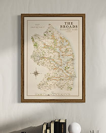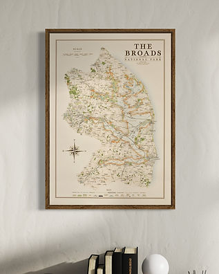
The Broads Maps
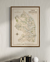
My Broads maps are available in two varieties one showing the national park border in orange and the other in blue in reflection of the aquatic nature of this map.
The core artwork is adapted from my Norfolk county map but with more detail added in labelling of broads, dykes, marshes and wind powered drainage mills.
A few other stylistic details were changed to emphasise certain features and adapt to the distinct nature of this map.
available in 3 sizes
Large - 70 x 50 cm (B2) (original design size)
Medium - 59.4 x 42 cm (A2)
Small - 50 x 35.3 cm (B3)
Framed and unframed options available with 270 gsm archival fine art paper or 280 gsm cotton/ polyester canvas.
To see other National Park and Landscape maps across the UK click here.
You can also see the Norfolk county maps here and Suffolk maps as well
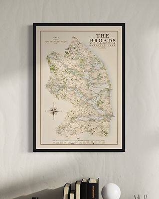
Frame Options - all the same price

thin matte black
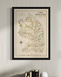
thick matte black
thin light walnut
