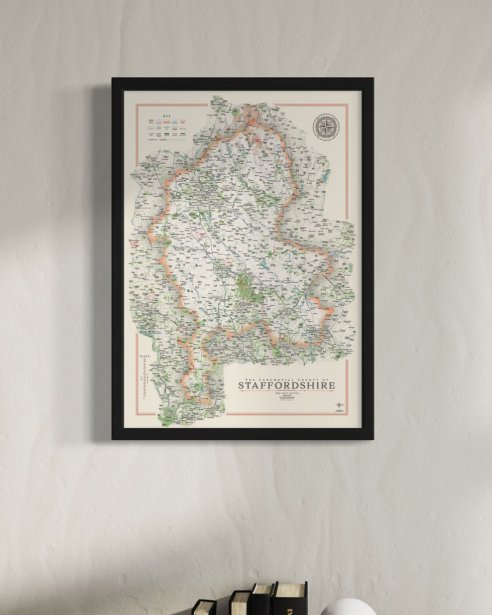
Staffordshire
Staffordshire Maps
Year of Design - 2023
I have made two versions of the Staffordshire map, one shows the districts and the other of the county as a whole.
'The Knot Unites' is the county motto as well as Stafford town which comes from the Staffordshire Knot, the three looped knot that is on the county flag and the Stafford family heraldic flag. Its origins go further back with it appearing on a seventh century Anglo-Saxon object that was part of the Staffordshire hoard, one of the sites of significant historical interest.
The Staffordshire maps are available on 270 gsm archival fine art paper or 280 gsm canvas, both framed or unframed.
(gsm - grams per square meter)
Two sizes available
Large - B1: 70 x 100 cm - £90 (Original design size)
Small - A1: 59.4 x 84.1 cm - £75
Details on the Maps
Rivers, lakes, reservoirs, a complete road and rail network, woodland, parks, golf courses, airports and runways, are all marked and labelled on the maps
Long distance walking routes are plotted and labelled on the map including Monarch's Way, Two Saints Way and Staffordshire Way.
Sites of significant historical & cultural interest are also plotted on the maps complete with reference sections. Examples include Dovedale and The Roaches, Cannock Chase, The Staffordshire Hoard, the Roman settlement Letocetum and Flash, the highest village in the UK.
Staffordshire Mini Maps
My Staffordshire maps have also been re-designed for the mini map series with less detail and no 'sites of significant historical and cultural interest' in smaller print sizes
Large: A2 - 59.4 x 42 cm
Medium: B3 - 50 x 35.3 cm (print only)
Small: A3 - 42 x 29.7 cm (print only
Visit the Mini Map Series page for more details on the mini map series
Other maps of Staffordshire's neighbours include Shropshire, Warwickshire and Worcestershire