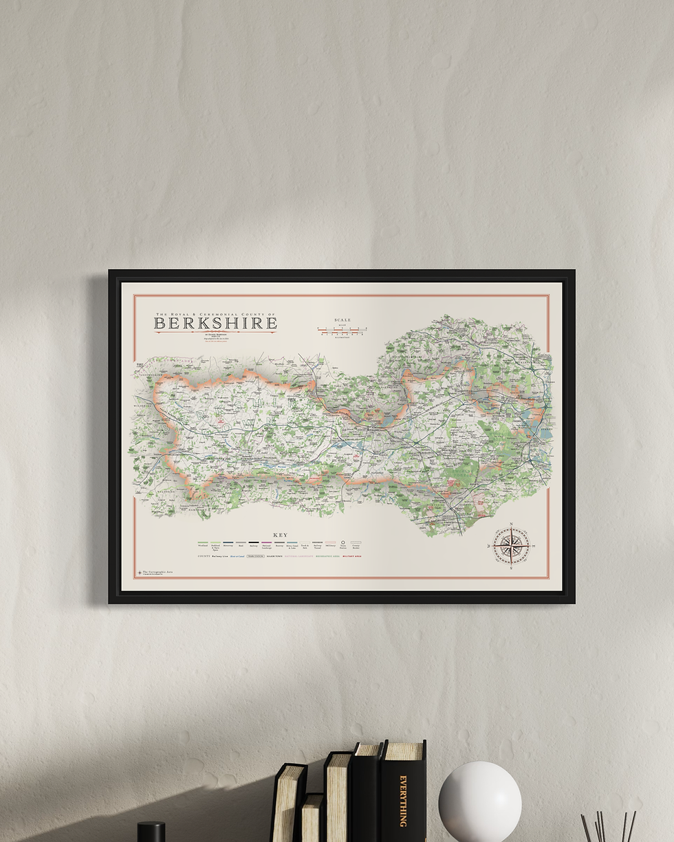
Berkshire Wall Maps
Year of Design - 2021
The county of Berkshire is the only Royal county, designated so by the Queen in the 1950's due to its strong Royal connections. Windsor Castle of course. Reading is the county town but there is no Berkshire County Council. Since 1998 it has been governed by six unitary authorities; Bracknell Forest, Reading, Slough, West Berkshire, Windsor & Maidenhead and Wokingham.
There are two versions of my Berkshire map. One shows the different unitary authorities and the other is the county as a whole.
Map Sizes
Large: B1 - 100 x 70 cm (original design size)
Small: A1 - 84.1 x 59.4 cm
Reduced: B2 - 70 x 50 cm
I have also made a made of West Berkshire in A2 and A3 sizes
Maps available framed or unframed on 270 gsm archival fine art paper or 280 gsm cotton / polyester canvas. (gsm - grams per square meter)
For more details on the specifications and build quality framed and unframed maps visit the specifications page.
Details on the Maps
Civil parish borders and labels, all place names, woods, parks, golf courses, rivers, lakes, park, hilltops, reservoirs and military areas.
There is a complete road and rail network with station and line labels.
Hill shading brings the relief and topography of Surrey alive on the map.
All long distance walking routes are plotted and labelled including the Lambourn Valley Way and Bracknell Forest Walk.
Sites of significant historical & cultural interest are also be plotted on the maps complete with reference sections.

Berkshire Mini Maps
I have re-designed the Berkshire map as part of my mini map series. To make the map work at smaller sizes a lot of labelling and detail is removed including the walking routes. Simplified but very elegant maps.
Three map sizes available
Large: A2 - 59.4 x 42 cm
Medium: B3 - 50 x 35.3 cm
Small: A3 - 42 x 29.7 cm
Visit the Mini Map Series page for more details on the mini map series
Close by is Oxfordshire and the Chiltern Hills. Check out those maps and the North Wessex Downs which covers much of West Berkshire


