thecartographicarts@gmail.com
+44 (0)1453 768 598

Original vintage style decorative maps | incredible detailed | stunning designs | up-to-date cartography - 2019 - 2026 | limited edition | giclée printing

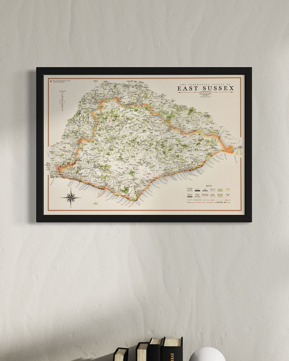
East Sussex Maps
Year of Design - 2021
There are two versions of the East Sussex wall map to choose from. One displays the different districts and unitary authorities of East Sussex and the other is the county as a whole.
East Sussex maps are available in two sizes
Large: B1 - 100 x 70 cm (original design size)
Small: A1 - 84.1 x 59.4 cm
The East Sussex county maps are available on 270 gsm archival fine art paper or 280 gsm cotton / polyester canvas, framed or unframed.
(gsm - grams per square meter)
East Sussex's south coast neighbour Kent is also available.
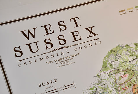
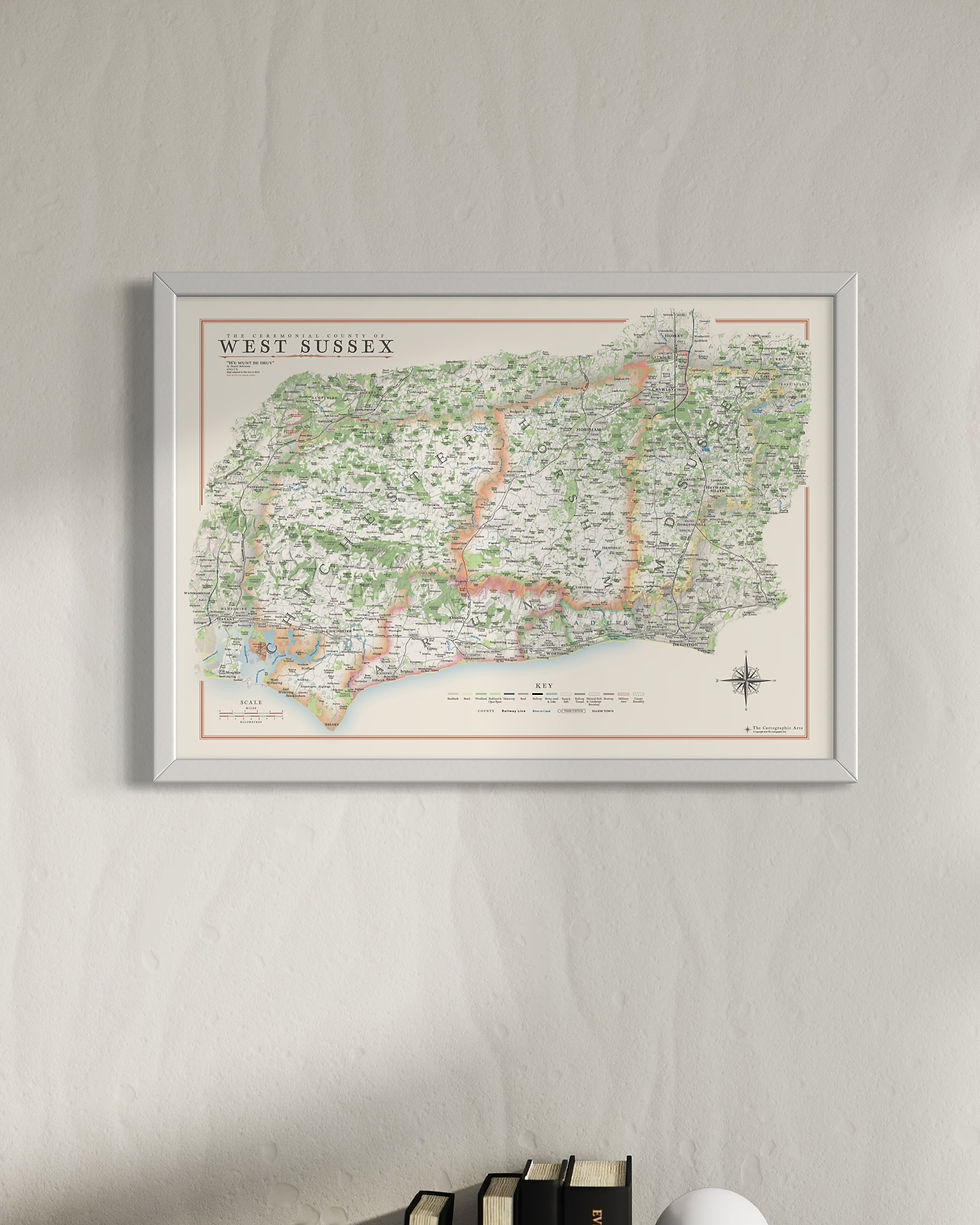
West Sussex Maps
Year of Design - 2023
There are two versions of the West Sussex wall map to choose from. One displays the different districts and unitary authorities of West Sussex and the other is the county as a whole.
West Sussex maps are available in two sizes
Large: B1 - 100 x 70 cm (original design size)
Small: A1 - 84.1 x 59.4 cm
The West Sussex county maps are available on 270 gsm archival fine art paper or 280 gsm cotton / polyester canvas, framed or unframed.
(gsm - grams per square meter)
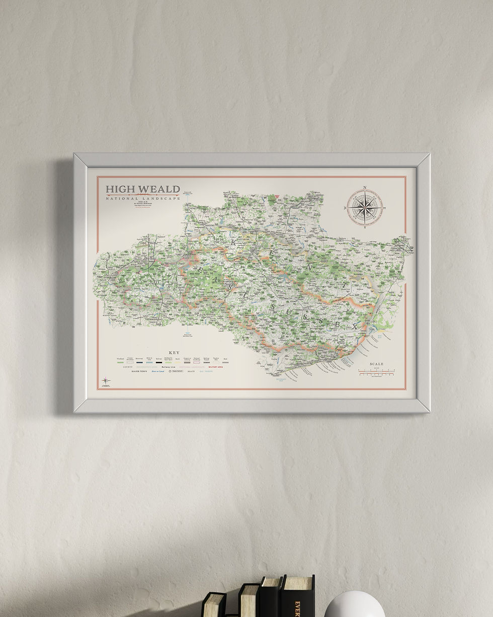
The South Downs National Park maps are also available along with High Weald National Landscape maps.
Details on the Maps
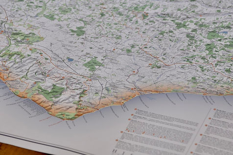
The large East Sussex maps are packed full of detail and labelling. Civil parish borders and labels, all place names, woods, parks, golf courses, rivers, lakes, parks, hilltops, reservoirs and military areas.
There is a complete road and rail network with station and line labels.
Hill shading brings the relief and topography of East Sussex alive on the map.
All long distance walking routes are plotted and labelled including the Sussex Border Path, 1066 Country Walk, High Weald Landscape Trail, Vanguard Trail and London to Brighton.
Sites of significant historical & cultural interest are also be plotted on the maps complete with reference sections. These are researched from the National Trust, English Heritage, Historic England and a few others not covered by these organisations.
For more details on the specifications and build quality framed and unframed maps visit the specifications page.


Sussex Mini Maps
My Sussex maps have been re-designed for the mini map series. These have less detail to make them work at smaller sizes with large amounts of labelling removed, prioritising place names. The civil parish borders and labels are lost along with the walking routes.
Available sizes
Large: A2 - 59.4 x 42 cm
Medium: B3 - 50 x 35.3 cm
Small: A3 - 42 x 29.7 cm
Visit the Mini Map Series page for more details on the mini map series