Hertsmere District Map
Vintage style map of Hertsmere District
stunning contemporary Hertsmere District map print design inspired from classic and vintage maps.
Year of Design 2025
product options
Hertsmere District map print sizes:
30 x 30 cm (print only)
product types:
Print only on paper: 270 gsm (grams per square meter) fine art paper - a beautiful, off-white ivory paper. Printed using the latest HP fine art Giclee printing technology, guaranteeing the artworks colour integrity for up to 200 years.
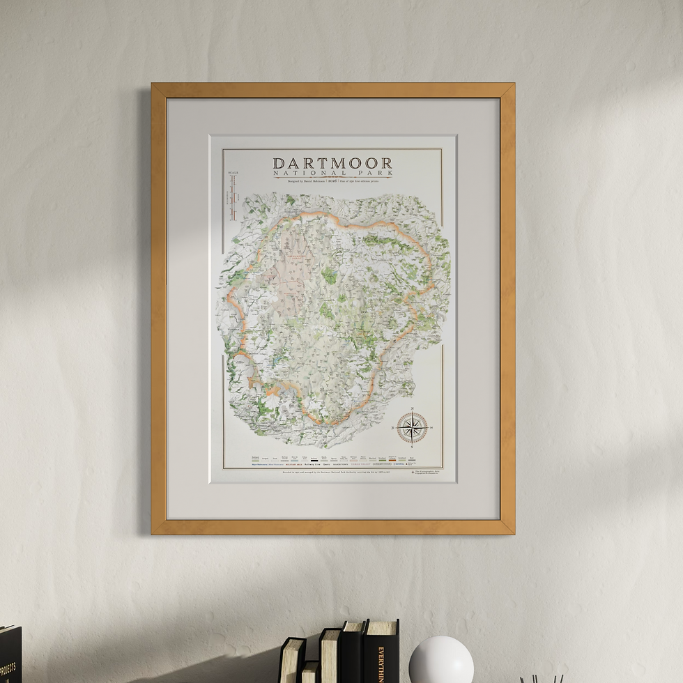
Hertsmere District map print artwork
a complete map of Hertsmere District and the surrounding areas.
details on the Hertsmere District map include:
topography and hill shading
road network
rail network and railway stations
parks & open spaces
Civil parishes
woods and forests
major tracks and paths
rivers, canals, lakes and reservoirs
there is a complete key, title, scale and compass design unique to the map
Return & Exchange Policy
Please get in contact if for any reason you are not satisfied with your order, or if damage is sustained during shipping. The option of a refund or exchange will be made available. I gladly accept returns and exchanges.
Contact me within 14 days from receiving your map and return item(s) safely. Cost of return shipment is customers responsibility. Any damage to returned items will be assessed and accepted for in the amount refunded.
If one item being returned from multiple purchases. The multi-by discounts will be adjusted upwards. If two items were purchased at a 15% discount and one item is returned the 15% discount will be removed.
The following items can't be returned or exchanged because of the nature of these items, unless they arrive damaged or defective, i can't accept returns for:
custom or personalised orders
Delayed or lost shipment
If your package is taking longer than expected check for updates with the couriers tracking service. If it appears lost reach out to us and we will raise a case with the courier for you. We will send a replacement 24-48 hours after this if no resolution is seen.