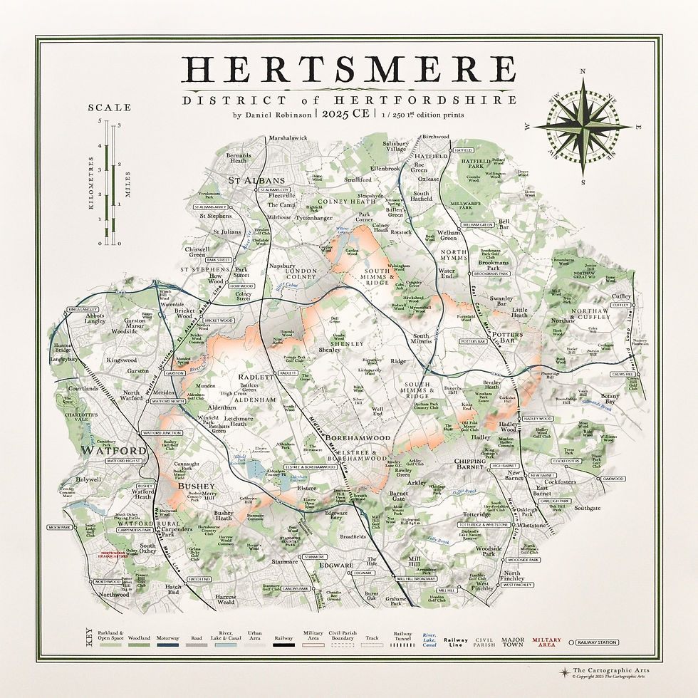
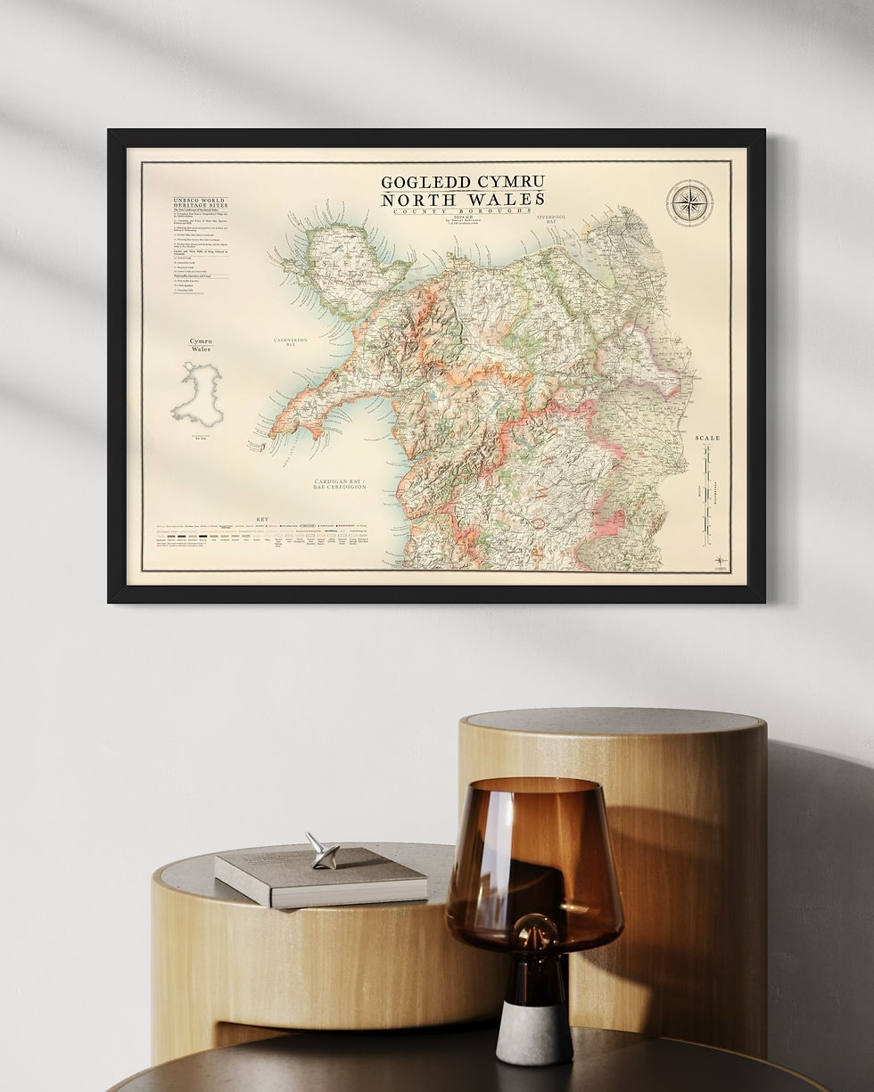
Vintage style map of Northumberland National Park - Mini map version
stunning contemporary Northumberland National Park map print design inspired from classic and vintage maps.
Year of Design 2025
The mini map series takes my large scale county, national park and landscape maps, reducing them down to smaller sizes for those with less wallspace.
A certain amount of detail is sacrificed including the civil parish boundaries and labels, national walking routes, streams and the majority of hill and wood labels. Major geographic landmarks are maintained.
The Sites of Significant Historical and Cultural Interest are also lost.
A light off white background is applied
the product
Northumberland National Park map print sizes:
A3 - 42 cm x 29.7 cm
B3 - 50 cm x 35.3 cm
A2 - 59.4 cm x 42 cm
Available with mounts only
Light cream colour, textured, white core 2 mm thick mount
A3 print with mount - requires 40 x 50 cm frame
B3 print with mount - requires A2 (59.4 x 42 cm) frame
Framed options with or without mount
A3 print in A3 (42 x 29.7 cm) frame
A3 print with mount in 40 x 50 cm frame
B3 (50 x 35.3 cm) print with mount in A2 (59.4 x 42 cm) frame
(A B3 print is NOT available in a B3 frame)
A2 print in A2 (59.4 x 42 cm) frame
Frame colour choices
Matt Black, Matt White, Light Oak
Frame specifications
Width - 22 mm, Depth - 22 mm
product types:
Print only on paper: 270 gsm (grams per square meter) fine art paper - a beautiful, off-white ivory paper. Printed using the latest HP fine art Giclee printing technology, guaranteeing the artworks colour integrity for up to 200 years.
Print with mount only: A light cream coloured, textured, white core border mount, 2 mm thick will surround the artwork. This is fitted to the print for you with PH7-70 acid free conservation mount tape. A3 prints with mount fit a 40 x 50 cm frame and B3 (50 x 35.3 cm) prints with mount fit an A2 (59.4 x 42 cm) frame.
Framed print with or without mount:
Key Features
Framed prints are dry mounted to insure stability, real glass used, cream textured mounts, spacers used for prints with frames of same size (unmounted), sealed at the back, bumpers string tie and certificate of authenticity.
Northumberland National Park map print artwork
a complete map of Northumberland National Park and the surrounding areas. Mini map version.
details on the Northumberland National Park map include:
topography and hill shading
road network
rail network and railway stations
parks & open spaces
woods and forests
major tracks and paths
rivers, canals, lakes and reservoirs
military areas
National landscape borders
Airports
there is a complete key, title, scale and compass design unique to the map with specific place names from around the borough in their relative positions around the compass
top of page

PriceFrom £29.50
related products
bottom of page


