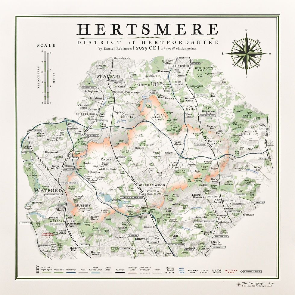
Vintage Style map of Wychavon District in Worcestershire and surrounding areas.
Size of Map:
A2: (59.4 cm x 42 cm)
A3: (42 cm x 29.7 cm)
Coloured Wychavon District with Worcester (Orange & Blue)
product types:
print only on paper: HP Matte Litho Realistic 270gsm - a beautiful, off-white ivory paper with a colour-stable coating, has the look and feel of heavy, offset paper. Prints are designed to last on this colour-stable, lignin-free, buffered paper. Printed using the latest HP fine art printing technology with guarantees of the artworks colour integrity for up to 200 years.
I have printed samples on countless papers and this produces by far the best results that are true to the artwork and of the highest quality
framed print: the artwork is printed on our beautiful ivory litho paper and dry mounted to a 5mm thick art foam to ensure it is perfectly stable and perfectly flat. This is essential because the paper can easily be affected by changes in moisture and temperature, causing the paper to expand and contract. This will cause ripples and undulations visible behind any glazing. For proper artwork, get it properly mounted.
The back is sealed and dressed with brown framing tape to prevent dust, grime and creepy crawlies getting in. A string hanger is firmly fitted across the back and elegant little cushions on the bottom corners attached so it's ready to hang and comfortable on the wall.
framed canvas print: artwork printed on polyester cotton canvas. The artwork is stretched around a stretcher frame and fixed in place before being set in the display frame of your choice. The same brown frame tape, string hanger and cushions are added to the back. Remember there is no glazing for canvas prints, the artwork is exposed, which is fabulous for viewing the work from any angle around the room as there is no glare. There are adjustable fittings on the back around the frame keeping the inner stretcher frame and artwork in place with the display frame.
frame options: there are 4 frame choices available from the cartographic arts. two matte black options, one thick and one thin, and two of a light walnut finish, one thick one thin.
thin matte black - 21 mm
thick matte black - 28 mm
thin light walnut - 19 mm
thick light walnut 28 mm
the price is the same across all frame types and between framed prints and framed canvas prints. The only change in price occurs with size.
Sites of Significant Historical and Cultural Interest
20 sites across the map researched, referenced and listed. From castles and manor houses to canals and ancient monuments.
Unique compass design to this map, which includes placenames within the district placed around the compass in the relative positions.
Hill shading across the map
All civil parishes are plotted and labelled
hills, parks, woods and open spaces are all labelled
A complete up-to-date road network
Railway lines, stations and tunnels
Rivers, streams and brooks
All major walking routes are plotted including the Wychavon Way
Wychavon District Map
please get in contact if for any reason you are not satisfied with your order, or there are any problems with it or damage sustained during shipping. the option of a refund or exchange will be made available, though the cartographic arts will not be responsible for any return shipping costs or returns lost in the mail.
i gladly accept returns and exchanges
contact me within: 14 days of delivery
send items back within: 30 days of delivery
i don't accept cancellations
but please contact me if you have any problems with your order.
the following items can't be returned or exchanged
because of the nature of these items, unless they arrive damaged or defective, i can't accept returns for:
-
custom or personalised orders
-


